
NEW GeoSLAM ZEB PANO
$1,600.00$2,000.00 (-20%)
NEW GeoSLAM ZEB PANO
Shipping costs to be assessed according to the zone.
NEW GeoSLAM ZEB PANO
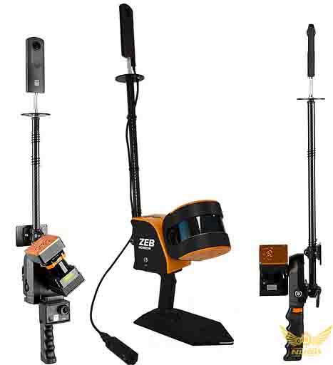
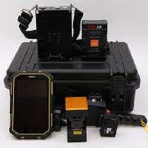
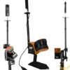
ZEB Pano Add 360° panoramic photography to your point clouds
Use the ZEB Pano to capture and create real estate and commercial property floorplans with informative 360° panoramic photography.
The ZEB Pano is compatible with the ZEB Go, ZEB REVO RT and ZEB Horizon mobile laser scanners.
Automatically and accurately position panoramic photos and create 2D and 3D property floorplans.
The ZEB Pano is the tool you need to digitalise your surveying and property marketing process.
Use GeoSLAM Draw to import and visualise your point cloud with ZEB Pano images for contextual image referencing.
the ZEB Pano is set to revolutionize the real estate surveying industry.
- Quick and easy property surveying
- No need to send seperate teams to a property
- Error free data and high-resolution panoramic photography
- 360° interactive digital data
- Stop and go camera operation
Reviews
There are no reviews yet.